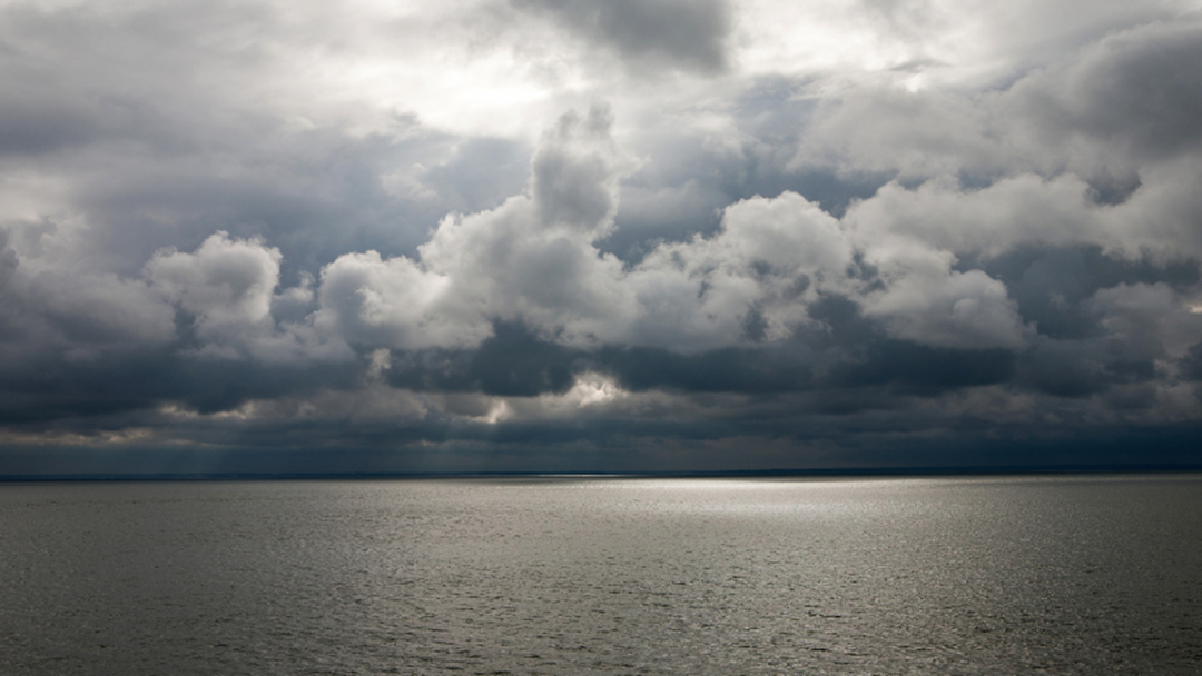
After a wet and wild weekend of weather around most of Regional WA, we're being asked to get prepared for another cold front.
It's set to hit the South West region from tomorrow morning, then drifting inland from a line Yanchep to Narrogin to Katanning to Albany by mid-tomorow.
Over a 48 hour period between Wednesday and Thursday, some parts of the South West and metro area can expect up to 50mm of rain, as well as the strong winds.
The wet weather is set to continue into early next week.

Full details from the Bureau of Meteorology (issued 3:11pm 25 June)
Severe Weather Warning
for DAMAGING WINDS and DAMAGING SURF
For people in South West and parts of Lower West, South Coastal and Great Southern districts.
A cold front could cause damaging winds across parts of the South West Land Division on Wednesday.
Weather Situation:
An approaching cold front is expected to reach the Capes early Wednesday morning. The passage of the cold front will cause showers and thunderstorms with gusty winds and moderate to heavy falls.
Showers and thunderstorms associated with the front may produce DAMAGING WINDS with gusts to 100 kilometres per hour that could cause DAMAGE TO HOMES AND PROPERTY southwest of a line from Busselton to Albany by 8 am Wednesday morning. This will extend to be southwest of a line from Yanchep to Narrogin to Katanning to Albany by 2 pm Wednesday afternoon.
DAMAGING SURF CONDITIONS are likely along the coast from late Wednesday which could cause SIGNIFICANT BEACH EROSION.
Locations which may be affected include Albany, Bunbury, Busselton, Katanning, Mandurah, Manjimup, Margaret River, Mount Barker, Narrogin, Perth, Walpole and Yanchep.
This is typical weather for this time of year but winds may cause damage to property and make road conditions hazardous.
The Department of Fire and Emergency Services advises that people should:
- If outside find safe shelter away from trees, power lines, storm water drains and streams.
- Close your curtains and blinds, and stay inside away from windows.
- Unplug electrical appliances and do not use land line telephones if there is lightning.
- If boating, swimming or surfing leave the water.
- Be alert and watch for hazards on the road such as fallen power lines and loose debris.
- Keep away from flooded drains, rivers, streams and waterways.
- Be careful of fallen trees, damaged buildings and debris.
- Be careful of fallen power lines. They are dangerous and should always be treated as live.
- Assess your home, car and property for damage.
- If damage has occurred take photos and contact your insurance company to organise permanent repairs.
- If your home or property has significant damage, like a badly damaged roof or flooding, call the SES on 132 500.